Prospect 3

Prospect 3

The optional "Analysis" add-on module enables the three-dimensional surface of the area currently selected on the map to be analysed and portrayed in a number of ways:

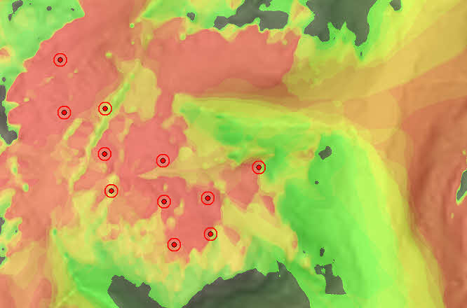
  • lines of sight - view-sheds
  • steepness of slope
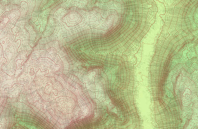
  • contours
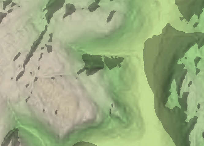
  • shadow casting
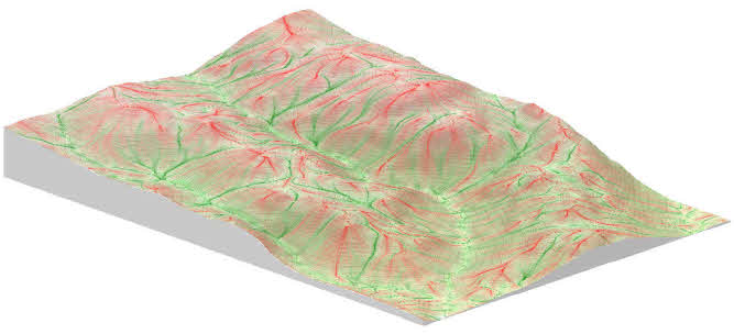
  • "lines of force"
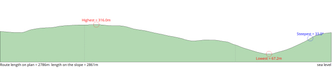
  • transect along a path
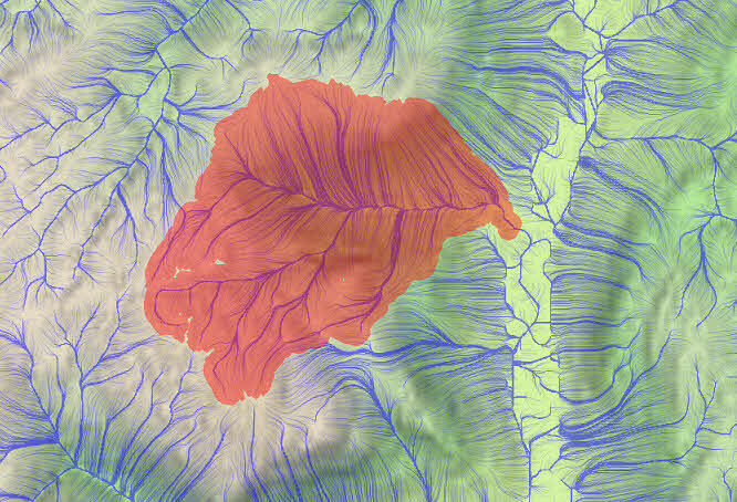
  • catchment areas
Lines of sight from multiple sources, in this case a wind farm
Lines of sight from multiple sources, in this case a wind farm.
Contours, lines of slope, altitude colouring, and slope shading
Contours, lines of slope, altitude colouring, and slope shading.
Casting shadows from the sun
Casting shadows from the sun.
Lines of force, on a 3D representation
"Lines of force", on a 3D representation.
Transect showing highest, lowest and steepest points along a path
Transect.
Catchment area shown against surrounding drainage lines
Catchment area.